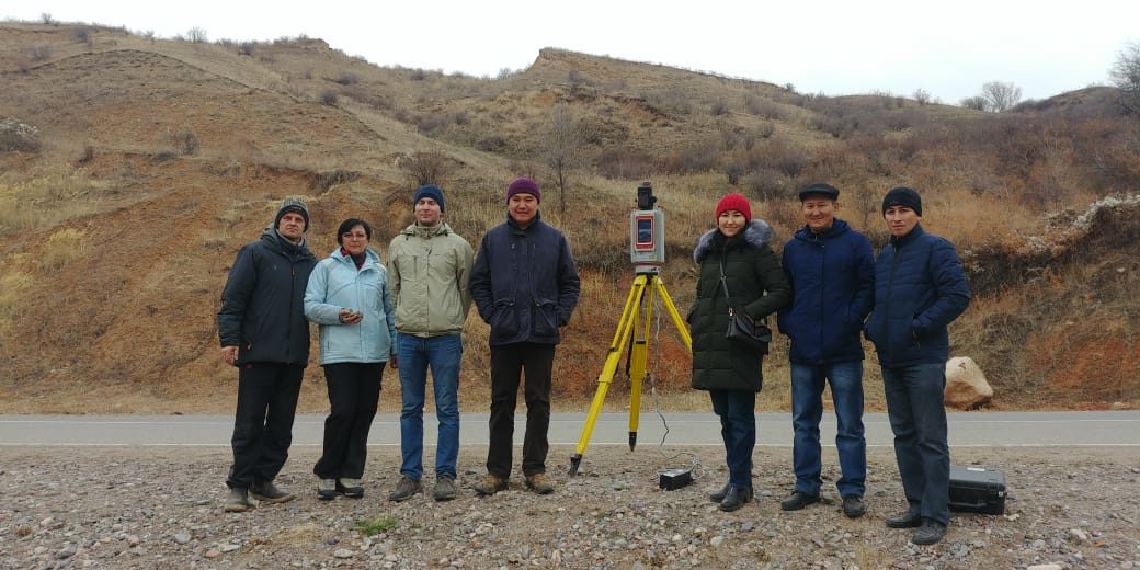
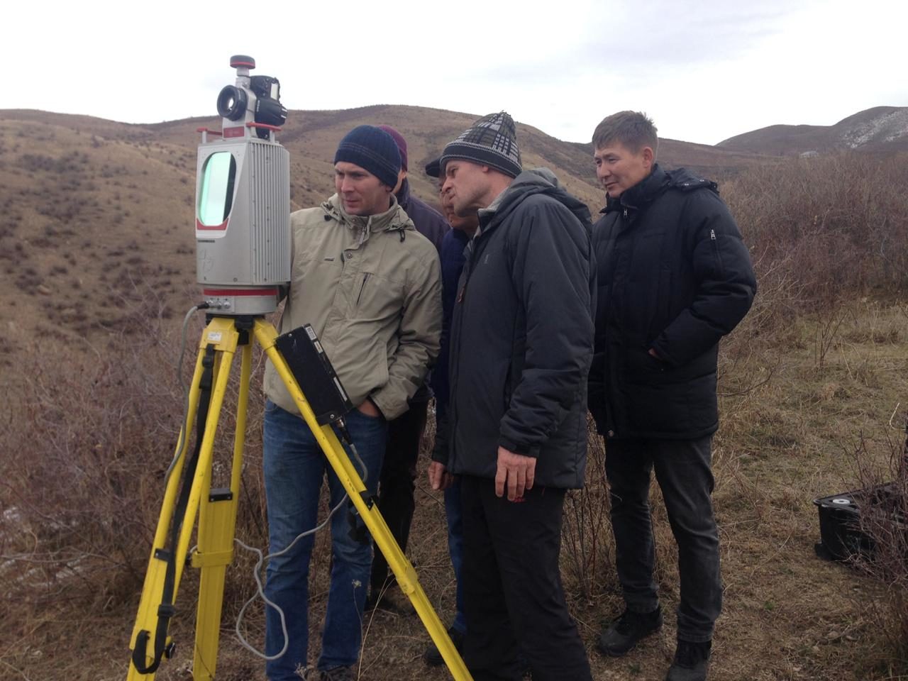
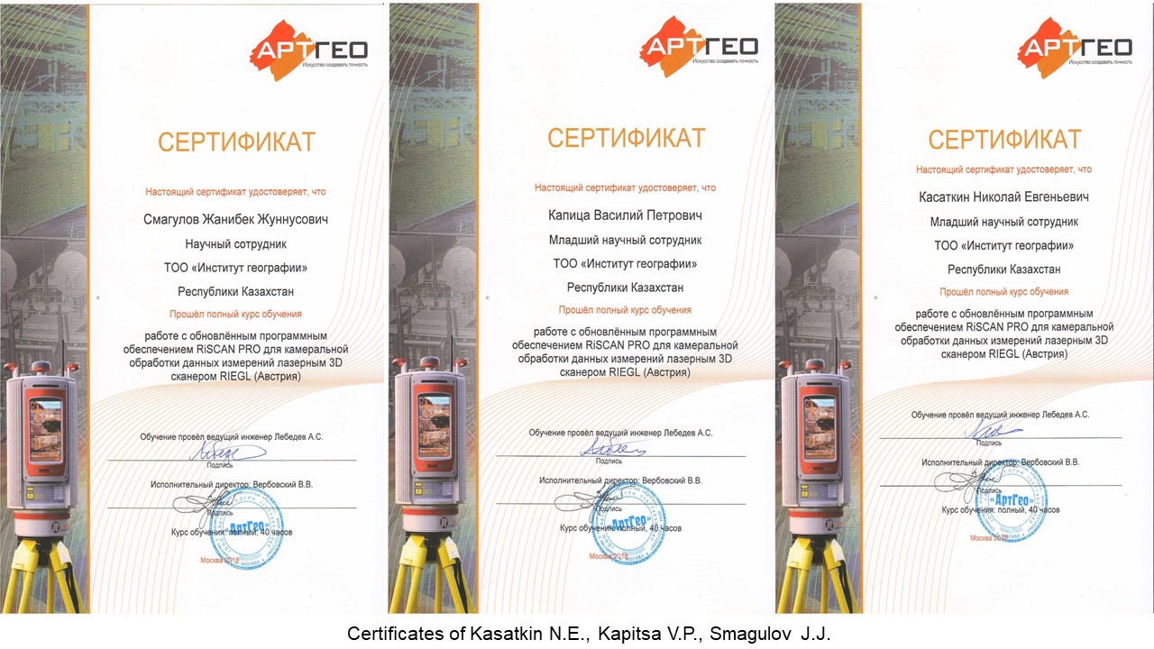
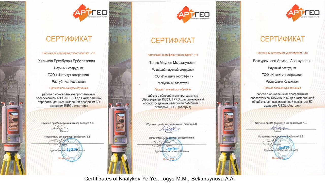
November 5 to 9, 2018, at the Institute of Geography RIEGL VZ-4000 3D ground laser scanner implementation and RiSCAN PRO software for office processing training courses have conducted. The courses were given by the leading engineer of the ArtGeo company (the official exclusive distributor of RIEGL in Russia and the CIS countries) Alexey Lebedev. The following researchers of the Institute of Geography have attended the courses: Khalykov Ye.Ye., Kasatkin N.E., Kapitsa V.P., Smagulov J.J., Togys M.M., Bektursynova A.A. The courses included theoretical lessons on using the RIEGLVZ-4000 3-dimensional ground-based laser scanner, practical exercises on working with the scanner in field conditions on a landslide in the Kaskelen Gorge (left side of the Kaskelen River) and office processing of the data on software RiSCAN PRO. Upon completion of the courses, all participants were awarded with certificates from the ArtGeo company.


