Project Manager: PhD Temirbayeva R.K.
Project goal: To give a comprehensive assessment of the most visited karst origin tourist objects of Mangystau region using modern instruments and research methods to develop recommendations and measures for their conservation and safe use
Expected Results:
2024 year – Methods of assessment and mapping of karst origin tourist objects have been developed
2025 year – Karst origin tourist objects of Mangystau region are comprehensively evaluated and mapped on the basis of remote sensing and GIS data
2026 year – Recommendations and measures have been developed for the preservation and safe use of karst origin tourist objects
Results obtained:
- Methodologies and approaches for studying karst origin tourist objects have been identified;
- field researches conducted at key sites;
- Cameral processing of field data based on remote sensing and GIS was performed. High-precision digital models of the relief of karst origin tourist objects have been created.
Field work
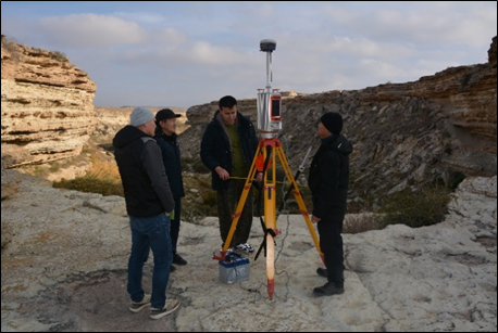
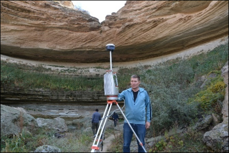
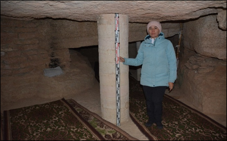
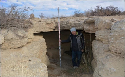
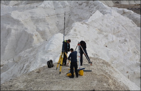
In 2024, during field work, a ground survey was carried out with a full geological and geomorphological description, measurements and collection of geological samples at the following tourist sites of karst origin according to the field assignment: underground mosques Zholaskan, Sultan Epe, Karaman-Ata, rock mosque Shakpak Ata, Araldy cave, Tamshyly, Saura tracts, Zhygylgan failure, Akespe ravine and Ybyktysay canyon. Field methods included instrumental measurements using devices of the global navigation satellite system (GNSS) SOUTH Galaxy G9 Trimble, ground-based laser scanner (TLS) Riegl VZ-4000, unmanned aerial vehicle Autel Robotics EVO 3, laser rangefinder. Subsequently, a comparative analysis of field materials, processing of data from high-precision geodetic instruments, cloud data from a ground-based laser scanner and photogrammetric processing of aerial photographs of key study areas were performed in office conditions. A cartographic method was used to process field data, which also covers the processing of space and aerial photographs, the construction of maps and DEMs of tourist sites of karst origin in the Mangistau region using GIS technologies.
in the underground mosque of Sultan Epe
in the underground mosque of Zholaskan
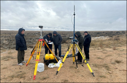
in the Akespe ravine and the Tamshyly tract