BRIEF INFORMATION
ABOUT FIELD AND EXPEDITIONAL RESEARCH OF THE LABORATORY
OF WATER SUPPLY OF NATURAL AND ECONOMIC SYSTEMS AND MATHEMATICAL MODELING FOR 2018
Field studies on water bodies of the basin of the transboundary river Ertis were carried out within the framework of the program: «Transboundary river basins of the Republic of Kazakhstan and the people's Republic of China: scientific and applied bases of sustainable water supply to the population and economy in the conditions of climate change and economic activity for the period up to 2050», according to the calendar plan for sub-program 9 «Scientific and applied bases of sustainable water supply to the population and economy of the territories of the transboundary basins of the Ili and Ertis in the conditions of climate change and economic activity» for 2018.
Purpose of field research: Selection and survey of the section of the proposed route of flow transfer through the channel "Buktyrma-Balkash" for the organization of further research.
Field research objectives: 1) Reconnaissance survey of sections of the proposed route of the channel «Buktyrma-Balkash»; 2) Survey and site selection for the head water intake channel «Buqtyrma – Balkhash»; 3) Water flow measurement of unexplored left-bank tributaries of the Ertis river basin.
The timing of the field work and their performance. The terms of field work were determined from 5 to 29 July 2018.
The survey routes were based on the closest coverage of water bodies for their research.
Field research started and completed in due time. Equipment and measuring equipment worked in normal mode. Directions and length of certain routes changed due to the inaccessibility and impassability of roads.
Accommodation expedition group took place in the field tent conditions (Fig.1).
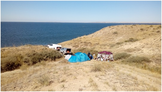
Figure 1 – Expedition camp at the mouth of the river Kalguty (Bukhtarminskaya the right-bank of the reservoir.). July, 2018.
Main results of the study. In the course of field reconnaissance surveys revealed that the area of the main water intake of the proposed channel (I option) is 400 m abs. mark North-West ridge Manrak (Fig.2).
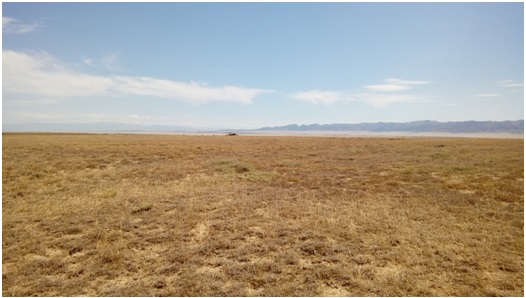
Figure 2 – Manyrak ridge in the area of the proposed canal route. July, 2018.
Part of the watershed space adjacent to the lake basin, in the narrowest band is at a distance of 10 m, and at the widest point up to 50 m from the main strip of interaction between land and water (Fig.3).
The proposed water intake is located in the left Bank of the Eastern part of lake Zhaysan, 30 km from the mouth of the river Kara Ertis.
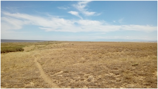
Figure 3 – Alleged site of a head water intake (I option) of Buktyrma-Balkash channel. July, 2018.
According to reconnoitering data the total length of the channel is 802 km. Height rising of water of 600 m. On 166 km from an estimated head water intake there pass Ridge Tarbagatai spurs on a mark of 1000 m abs. which is a conditional watershed. The remained 636 km of length of the channel to Balkash the water stream overcomes distance in the self-flowing mode.
By the second option of transfer of Buktyrminsky water to the lake Balkash, an estimated water intake of a head part of the canal is located around a right-bank part of the mouth of the Kokpekta river (fig. 4). Absolute mark of height of the area of 405 m. Height of rising of water will be 416 m abs. on distance of 86 km of length of the channel. Further the route of the channel coincides with the route of channel I of option.
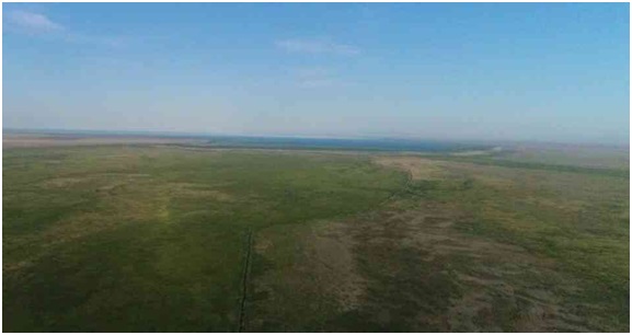
Figure 4 – Site of a head water intake of estimated channel "Buktyrmak-Balkash" (II option). July, 2018.
The working moment of hydrological work on the left-bank tributaries of the Ertis River Basin (Fig.5).
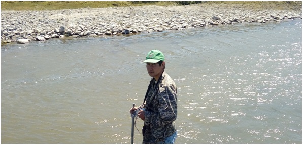
Figure 5 – Measuring work on the river Shar. July, 2018
The state of water regime of some rivers of the left-bank tributary of the Ertis river basin (Fig. 6,7).
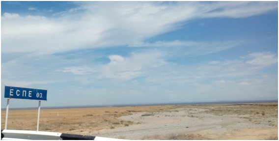
Figure 6 – Espe river. July, 2018.
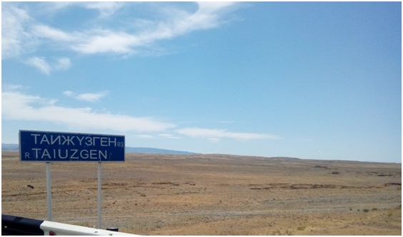
Figure 7 – Taizhuzgen river. July, 2018.