Research team: senior researcher Krylova V. S., senior researcher Tuletayev A.B., junior researcher Kuderin A. A., junior researcher Omarov A. N., junior researcher Aldazhanova G.B.
Period of field researches: from May 01 to May 31, 2019.
The purpose of the research: Conducting field researches for the assessment of the land and water resources of Zhambyl region
Tasks:
- carrying out adjustment of contours of used and cultivated agricultural land;
- identification of sources of watering for agricultural lands and assessment of their condition;
- conducting research on the degradation of irrigated and pasture lands in the Zhambyl region, identifying disturbed lands.
A group of landscape scientists of LLP "Institute of geography" in the period from May 01 to May 31, 2019 conducted a field survey of land and water resources of Zhambyl region.
The main aim of routes developing was survey of the land used for the crop production and livestock breeding in central, northern districts of the Zhambyl Region.
The main aim of routes developing in 2019 was survey of the land used for the crop production and livestock breeding in central, northern districts of the Zhambyl Region and also monitoring of agricultural land studied at 2018.
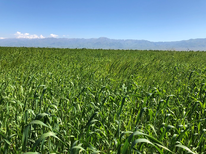
Thus, the lands involved in agriculture, are located in different natural conditions - semiarid plains, river complexes, sand massifs and foothills.

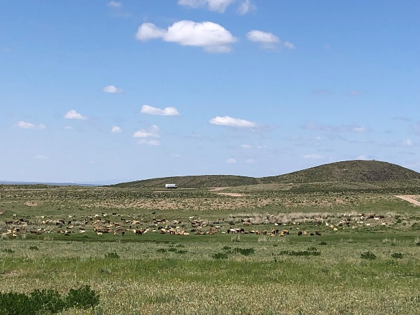
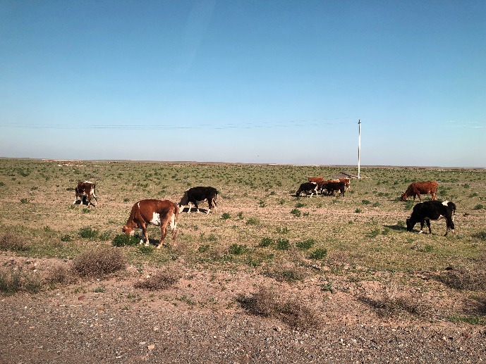
Foothill plains traditionally used as pasture
(near Khantau village, Moyynkum district)

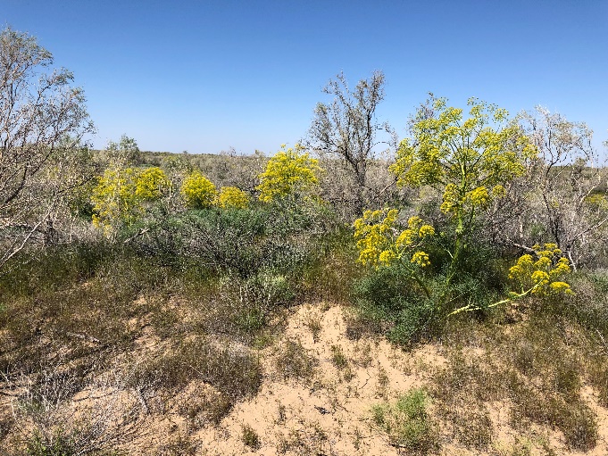
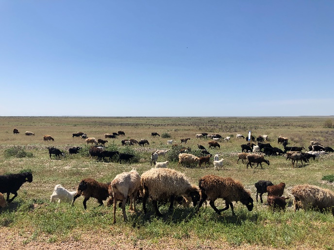
Pastures in saxaul thickets
(northeastern borders of Moynkum Sands, Sexuildala steppe)
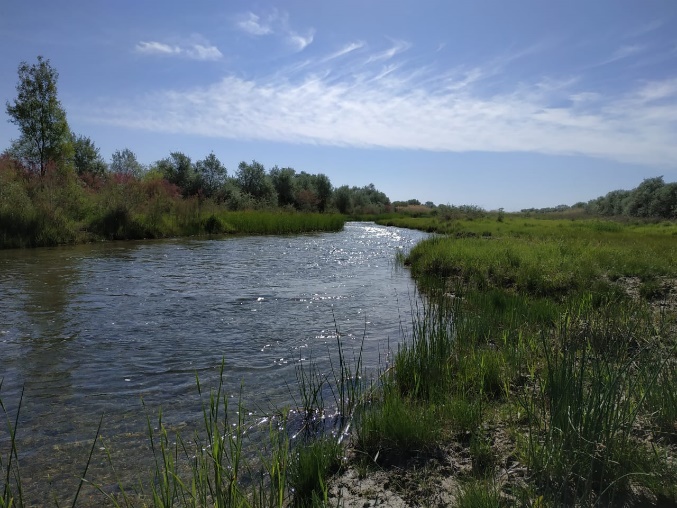
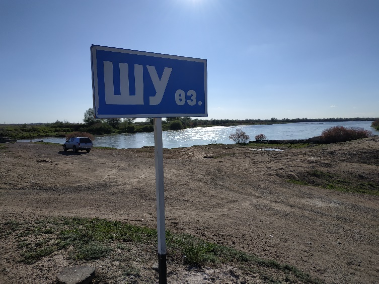
Natural grassland along Shu River
(middle part, near Kylyshbay Yerzhanuly Village, Moyynkum district)

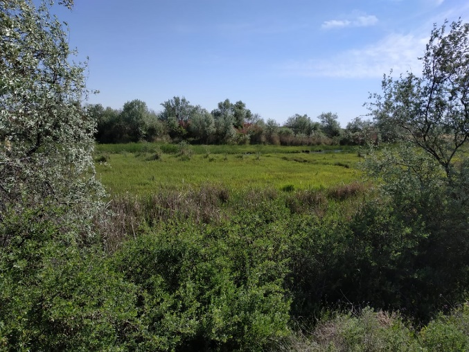
Natural grassland along Shu River
(lower part, north of the Ulanbel Village, Sarysu district)
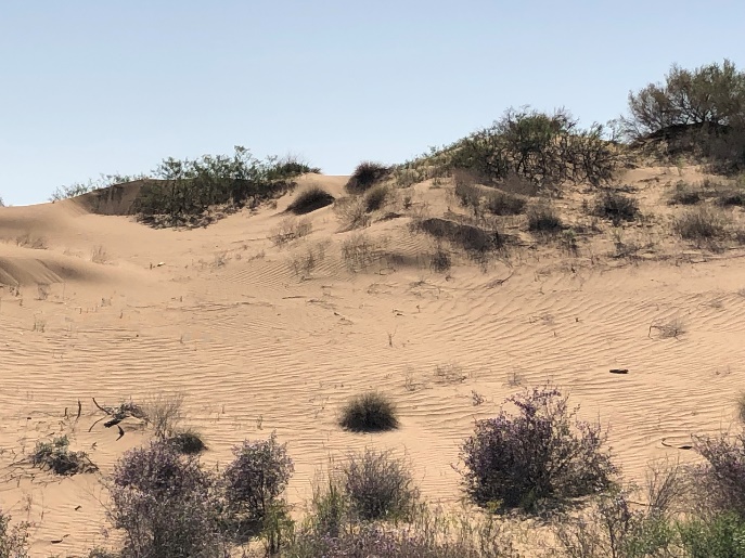
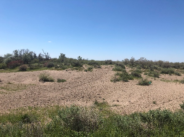
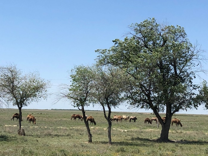
Semi-fixed sands used as pasture
(Moynkum Sands Massive, near shift camp Amangeldy Gas Processing Plant,
Moyynkum district)
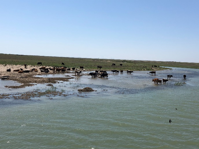

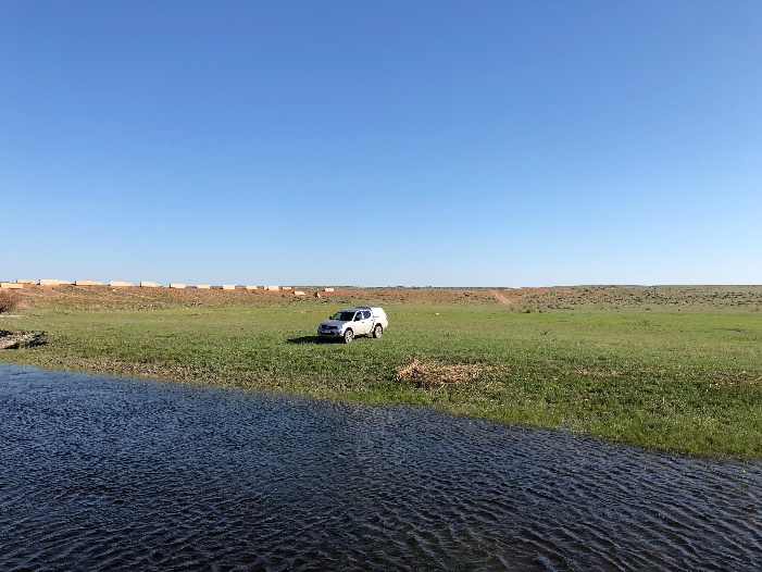
Shu River Valley, grazing and watering place
(middle part - Birlik Village, lower part - Zhaylaukol Village)
According to field research program the borders of agricultural lands (pastures and arable lands) were specified and described. The productivity and watering sources has also been identified.
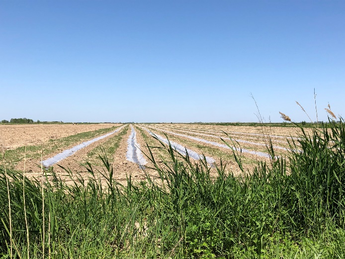
Cultivation melons and forage crops
(near Madimar Village, Baizak district
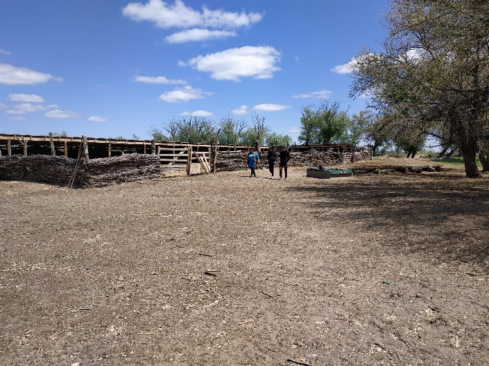
Seasonal keeping of livestock on the big farm
(neighborhood of Kyzylotau Village, Moyynkum district)

Near-village pasturing of livestock (Talass, Baizak district)
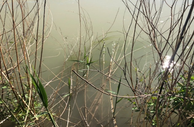
Particular attention was paid to irrigation sources (all big rivers, irrigational canal’s network). During the field works the river’s and lake’s coast conditions have been investigated.

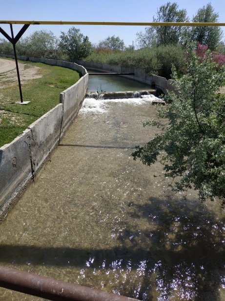
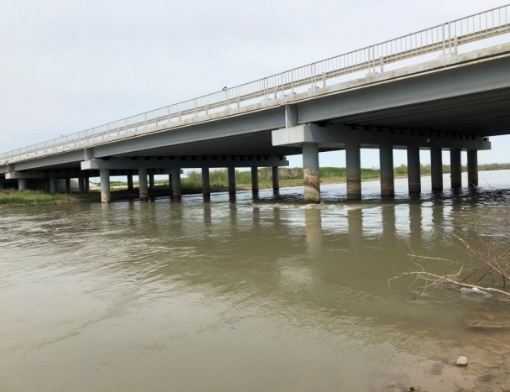
One of the research points was to visit the Furmanov waterworks and main irrigation canal used for agricultural lands of Moyynkum district.
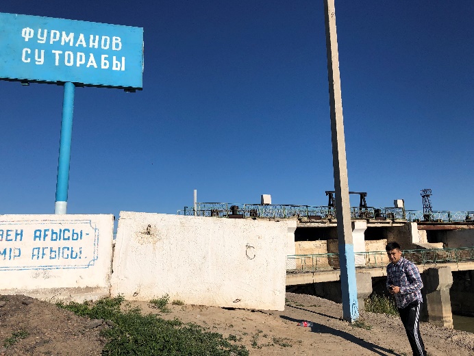

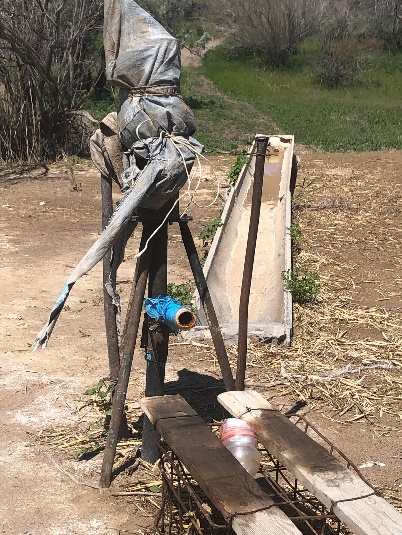
As it was determined, the water flow through the canal is not carried out completely, electrical equipment not working properly. This is probably one of the reasons for the catastrophic lack of water for peasant farms of Moiynkum district center (ex. Furmanovka). Local sources of water supply (wells, irrigation ditches) were also investigated.
Также были по мере продвижения по маршрутам были обследованы локальные источники подачи воды (скважины, арыки)
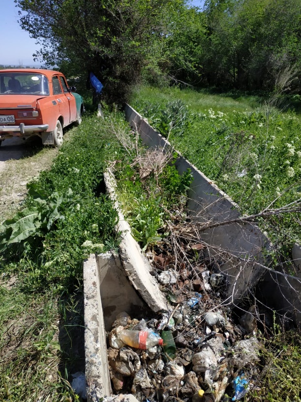
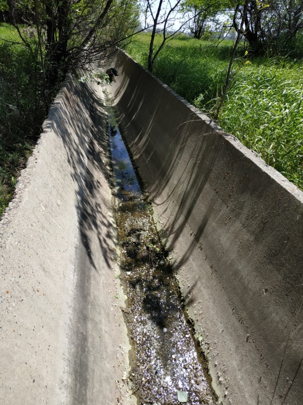
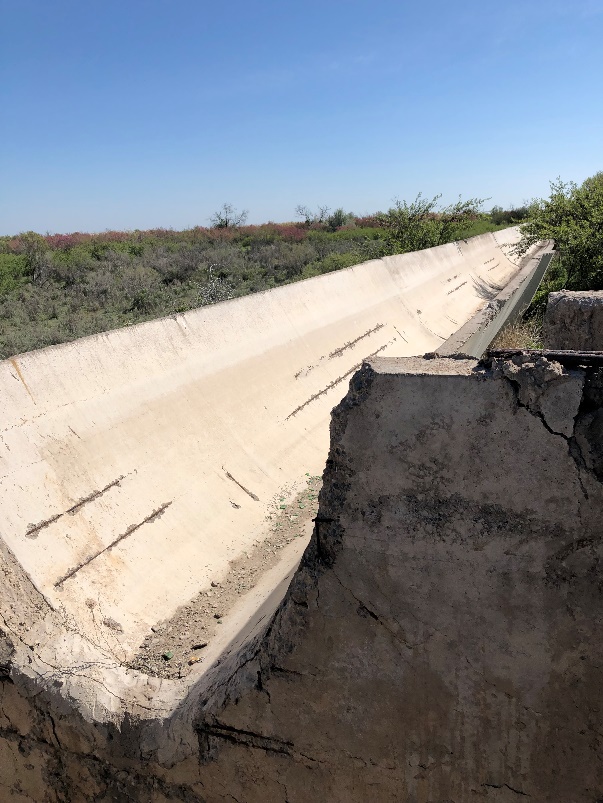
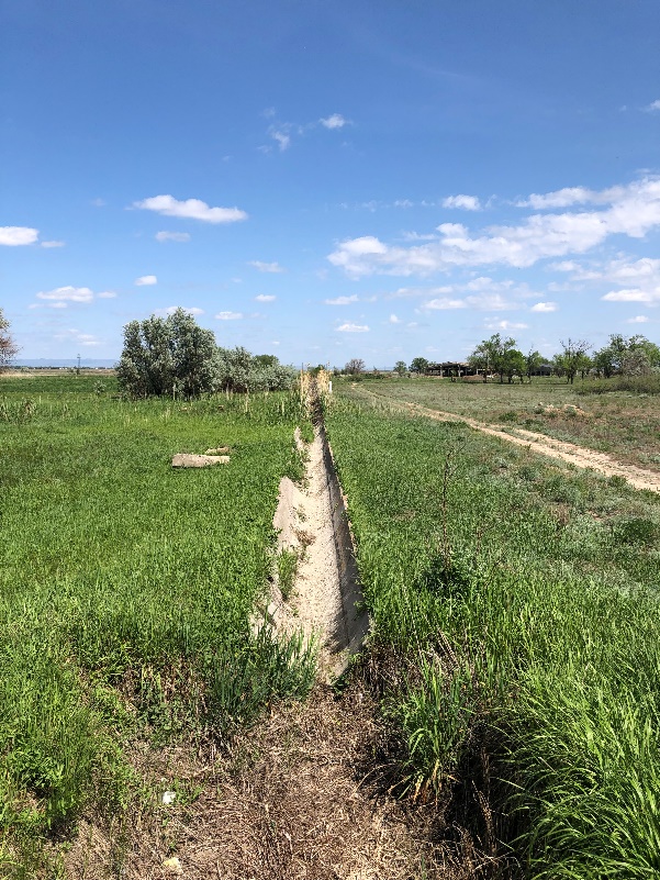
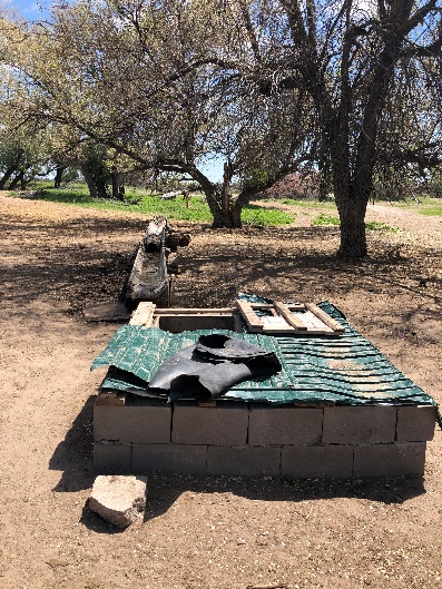
It was determined that practically in all districts of Zhambyl region the majority of constructions of channel net are in unsatisfactory condition, destroyed and do not provide water supply. Exclusion are piedmont districts in the South of the region, where channel net remained, working but requiring proper renovation. One of the reasons of improper condition of remained channels is blockage by the garbage which is not utilized by anyone. Farmers who rent lands for the period of 1 year are leaving after harvest the plastic pipes and household rubbish on the fields.
However, water for peasant farms is delivered through the both - concrete and earthen canals, and from them the water is delivered by the furrows.
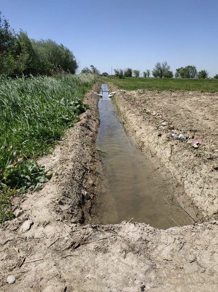

Full-flow canals and annually constructed irrigation ditches

Organization of water supply to the fields and places of livestock watering
(arable lands Baizak district, and farmstead of Moiynkum district)
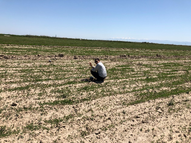
As a result of the measurements, the data on pasture yields, fodder capacity, and fodder stock were also refined. All this together allowed us to determine the nature of the disturbance and the degree of vegetation degradation.
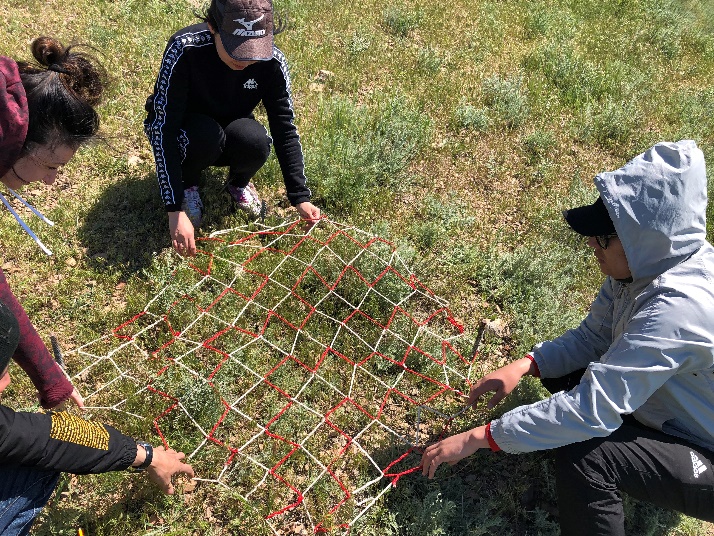
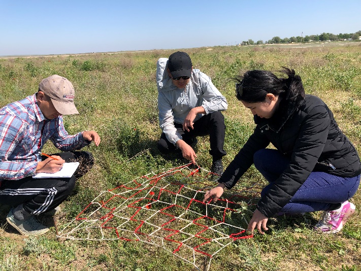
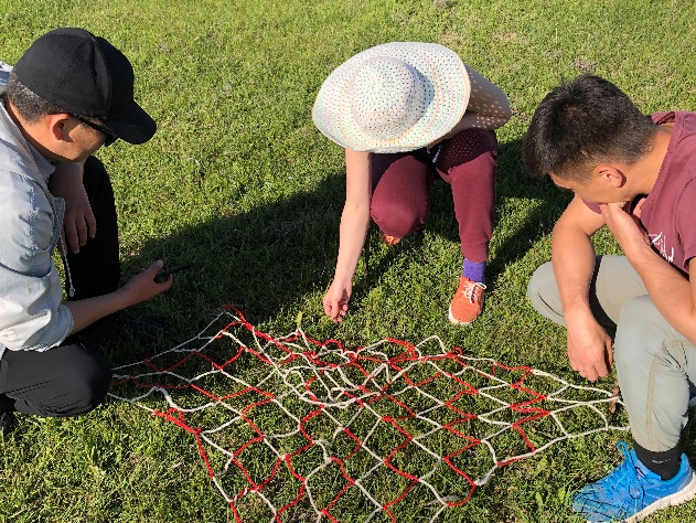
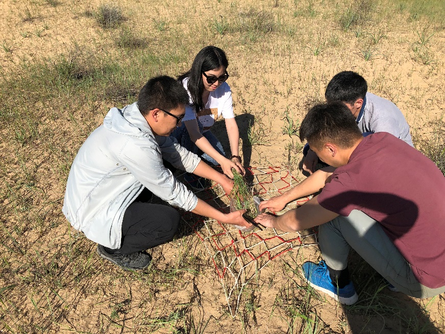

Example of use of the Ramensky grid to determine the yield of vegetation
of foothills and sand massifs (Moyynkum, Baizak districts)
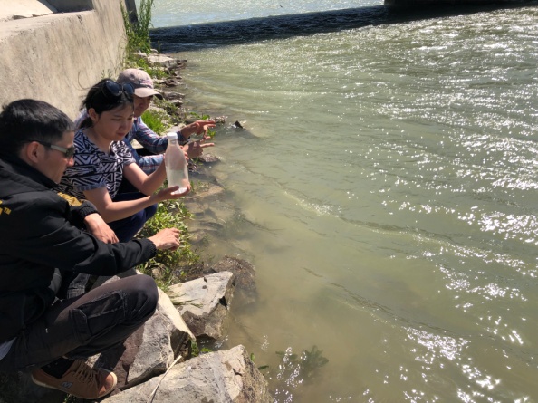
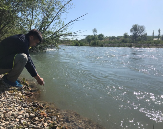
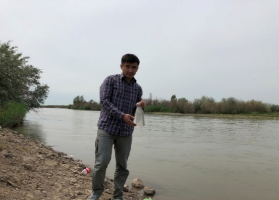
During the survey of agricultural lands of Zhambyl region the water samples were taken from the rivers Shu and Talas, from the locations upstream (to the North) and downstream (to the South) of cultivated irrigative massives as well as the samples of soil from arable lands of Baizak and Korday districts. The main reason of sampling was to determine heavy metals and mineralization specific as the important indicators of ecological condition of studied agricultural lands.
Point №1. 44º05′43.03″, 73º27′13.81″

Water sampling in Shu River (near Birlik Village, Shu district)
Point №2. 43º48′16.70″, 70º58′02.31″
Water sampling in Talas River below arable lands (near Oyiyk Village, Talas district)
Point №3. 42º56′1.52″, 71º27′2.47″

Water sampling in downstream Talas River
(to the north from the of Taraz Сity within suburban agricultural areas)
Point №4. 42º52′52.84″, 71º24′48.15″

Water sampling in Talas River (to the south from the Taraz City)
Point №5. 43º16′28.90″, 74º13′50.30″
The point for water sampling from the Shu River was determined upstream, almost 200 m from the Kyrgyz border (to the south from the Kaynar village)
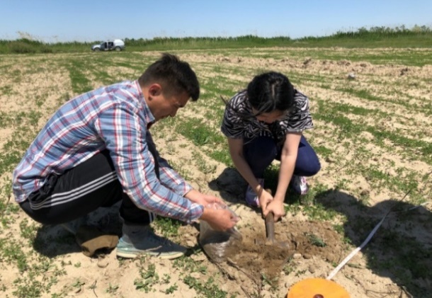
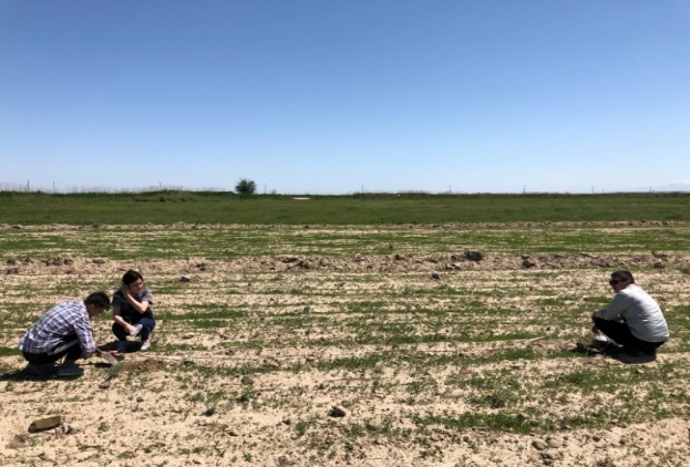
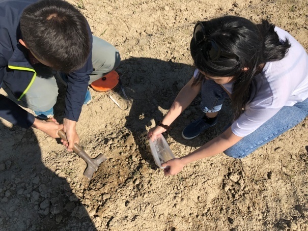
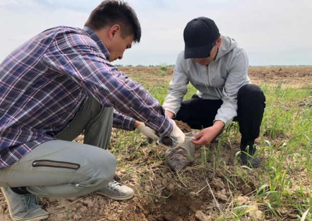
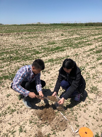
Soils sampling was made according to generally accepted methods of sampling and preparation for the chemical analysis. From the chosen site there was taken mixed sample, containing 5 samples taken by the envelope method (from the corners and center of the site. Samples were taken by shovel at the layer depth of 0-20 cm and 20-40 cm 5 times. The weight of sample – 1 kg. The mean sample was determined by quartering method.
Point № 1. 42º56′04.45″, 71º26′48.50″
Soil sampling on arable land (Sarykemer, Baizak district)
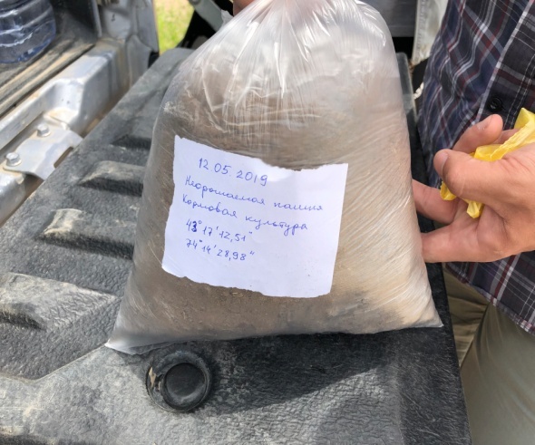
Point № 2. 43º19′46.67″, 71º26′44.65″

Soil sampling on saline arable land (near Tegistik Village, Baizak district)
Point № 3. 43º16′28.85″, 74º13′49.74″
Soil sampling on non-irrigated arable land
(Kainar Village, Kordai district)
A total number of 106 points were analysed. During the field study the geobotanical description, watering points and irrigation sources description were completed
According to the results of the expedition surveys, the research objectives and tasks were fully implemented in accordance with the program of the field study of the project " Geographical basis of land management of agricultural development of Zhambyl region in conditions of water resources limitation»:
- corrected contours of used and cultivated agricultural lands;
- the sources of watering for agricultural lands (pasture and irrigated arable lands) are determined and the associated assessment of their condition is carried out;
- a complex of works on the study of degradation of irrigated and pasture lands of Zhambyl region and identification of disturbed lands was carried out.
The results obtained during the processing of the field materials were provided in the progress and final reports of the project.