 |
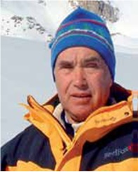
Head of the Department – Doctor of Geographical Sciences, Laureate of the State Award of the Republic of Kazakhstan and the Award of the National Academy of Sciences of the Republic of Kazakhstan named after Chokan Valikhanov Blagovechshenskiy Viktor Petrovich |
History
Department of Natural Hazards was created in 2008 as independent research division in the structure of the Institute of Geography. Studies of natural hazards in mountain areas started in the Institute of Geography in 1970-ies. Since that time, conditions of formation of avalanches and worked out methods of assessment and mapping of avalanche danger were studied in the Department of Snow Cover and Avalanches under leadership of I.V. Severskiy. Starting from the middle of 1990-ies, the issues of mudflow danger and developed methods of assessment and management of mudflow risks were studied in the Department of Geomorphology under the leadership of A.R. Medeu. In 2008, those directions were combined in the Department of Natural Hazards. Additionally, there was started studying of landslides danger.
Directions of researches:
- Study of laws of distribution and conditions of formation of dangerous exogenous processes (avalanches, mudflows, landslides, rockslides) in the mountains regions of Kazakhstan;
- Developing of methods of assessment and mapping of natural hazards and natural risks;
- Developing of scientific bases of managing of natural risks.
Main results:
- Developed methods of assessment and mapping of natural dangers and risks,
- Maps of assessment of mudflow, avalanche and landslide dangers to the mountain areas of Kazakhstan,
- Developed scientific bases of nature risks management.
Staff
At present, 10 employees work in the Department, including 1 Doctor and 4 Candidates of Geographical Sciences, 2 lead research workers, 2 senior research workers, 1 junior research worker, 4 lead engineers.
Prospects of development
Prospects of development of the Department is an application of modern methods of research and equipment: deciphering of satellite images, use of terrestrial laser scanner, geo penetrating radar, echolocator, high-precision GPS- pilotless vehicle, computer modeling of movement avalanches, mudflows and landslides.
Publications
- Severskiy I.V., Blagovechshenskiy V.P. Lavinoopasnyye raiony Kazakhstana. Alma-Ata, 1990. 172 s.
- Blagovechshenskiy V.P. Opredeleniye lavinnyh nagruzok. Alma-Ata, 1991. 118 s.
- Severskiy I.V., Blagovechshenskiy V.P., Severskiy S.I. Snezhnyi pokrov I laviny Tien-Shanya. Almaty, 2006. 184 s.
- Medeu A.R., Nurlanov M.T. Selevye yavleniya seismoaktivnyh territoriy Kazakhstana. Almaty, 1996. 204 s.
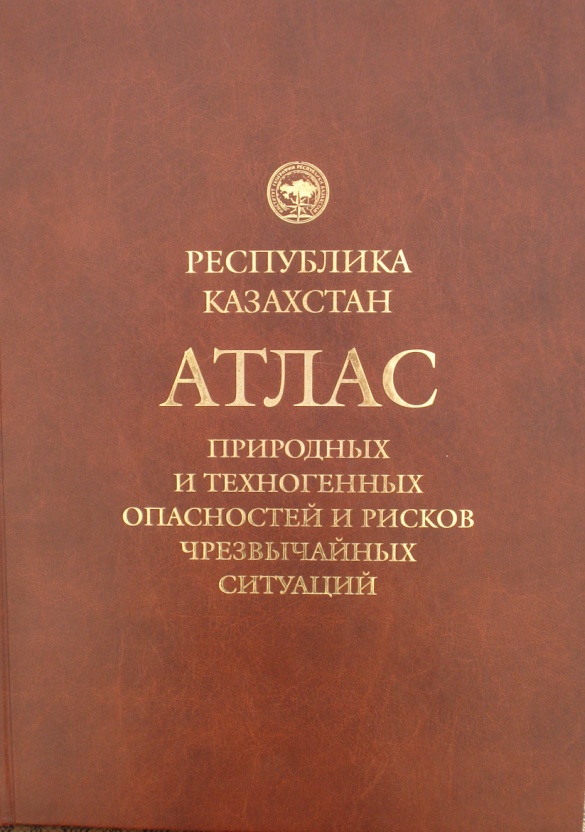
- Atlas prirodnyh I tehnogennyh opasnostei I riskov chrezvychainyh situatsiy v Respublike Kazakhstan / Glavnyi redactor A.R. Medeu. Almaty, 2010. 264 s.
- Medeu A.R. Selevye yavleniya Yugo-Vostochnogo Kazakhstana: Osnovy upravleniya. Almaty, 2011. T. 1. 284 s.
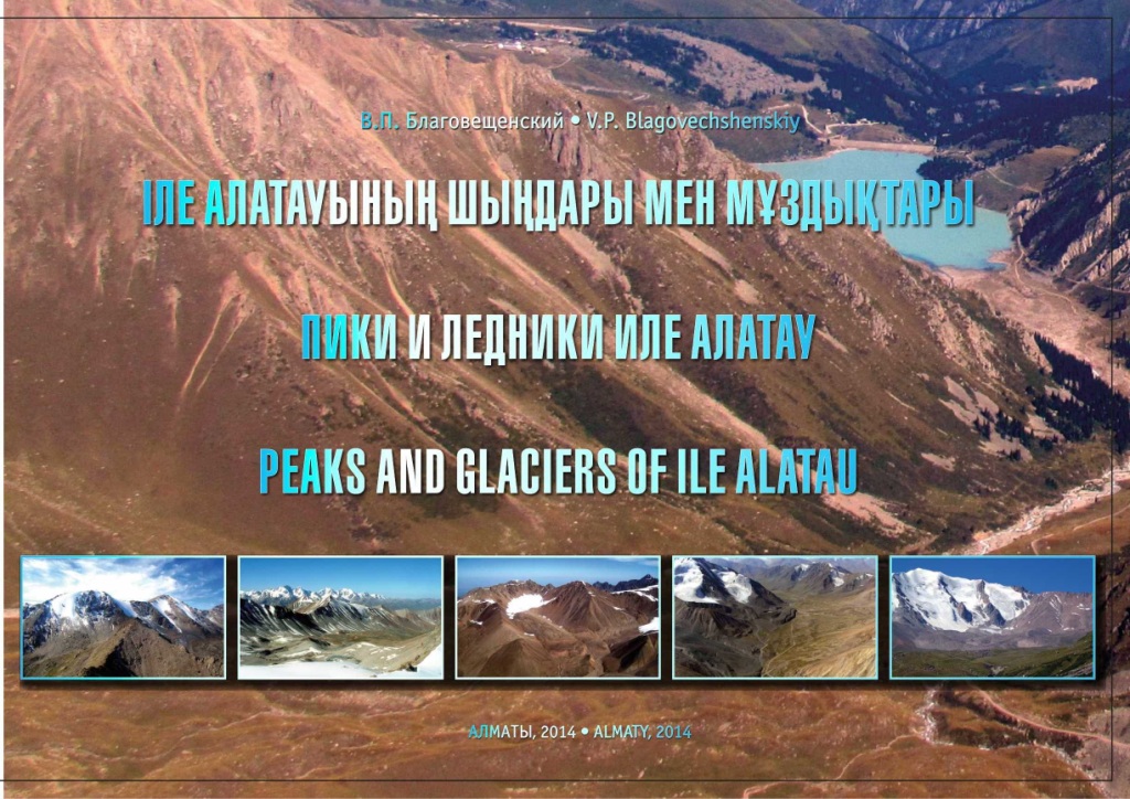
- Blagovechshenskiy V.P. Piki I ledniki Ile Alatau. Fotoalbom. Almaty, 2015. 240 s.
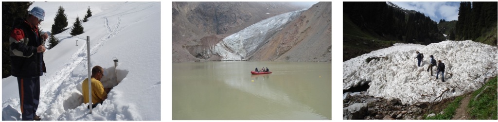
Expeditions and field researches
3 whole-year stations located in 3 altitudinal landscape-geomorphological zones of Ile Alatau: middle mountain forest zones – station at Big Almaty lake at the altitude of 2500 m a.s.l., a high mountain periglacial zone – on the mountain pass Zhosaly-Kezen on the altitude of 3400 m a.s.l. and in high mountain glacial zone – at glacier Tuyuksu at the altitude of 3450 m a.s.l., are used for the field researches of dangerous processes. Monitoring at the stations is supplemented by field trips in mountain basins of Ile Alatau for survey of mudflows, avalanches, land-slides and moraine lakes.